Download Company Profile

8 MB

Contact with
us for any
soluton

Call Anytime

(+966) 13 881 3823

Hydrographic Surveys

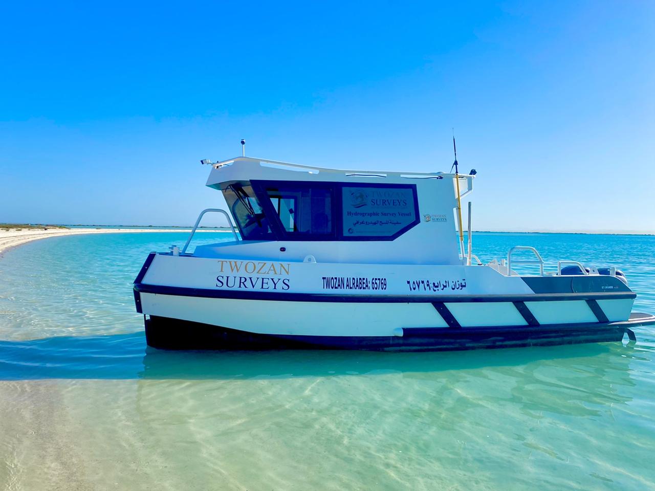
Hydrographic surveys are very important for offshore and near shore coastal development projects. It provides the project design and construction teams with vital information about the configuration of the seabed terrain, tidal information and wave modeling, in addition to other valuable project input data. During the construction phase, hydrographic survey support is required for dredging works, offshore positioning of structures, and for post dredge volume computation surveys. In our quest to provide our clients with complete surveying services solutions, we have acquired a highly qualified team of hydrographic survey engineers, technicians and operators and provided them with the most innovative and fully integrated hydrographic systems. Our hydrographic survey department is undertaking the following hydrographic surveying services:

Pre and Post Dredging Operations support surveys.
Navigation clearance and obstruction detection and verification surveys.
Coastal management and development surveys.
Coastal engineering surveys.
Off-shore drill barge positioning surveys.
Tidal measurements, zoning and computations of vertical chart datum’s.
Off shore shallow and deep draft navigation charting surveys.
Harbor construction surveys.
Off-shore environmental surveys.
Sea bottom composition and vegetation mapping.
Structural inspection and research surveys.
Measurements of physical properties of the water column. (ADCP, CTD, Weather Stations)
Determination of the force and direction of water currents.
Hydrographic surveys supporting monitoring and measuring contract performance.
Data collection for oceanographic studies

Twozan Surveys

Al Jazirah Building, Office # 307, Custodian of The Two Holy Mosques Road, Al Aqrabiyah, Al Khobar 34446, Saudi Arabia
+966 13 881 3821
+966 13 881 3823
Ext. 131