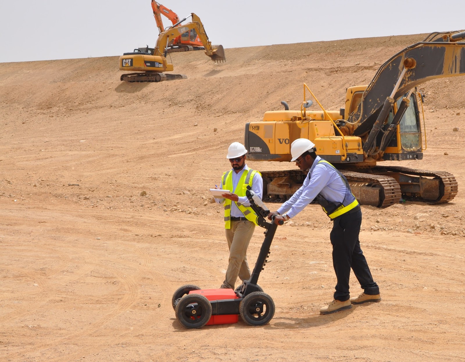
Most planning and engineering agencies are faced with difficulties concerning underground utility line networks with no existing and accurate as-built maps. As-built maps are rarely available and when available, they are hard to gather from various sources, inaccurate and often based on the design plans not the actual as-built conditions. This could result in considerable project delays, costly accidents, infrastructure damage, service disruption, and increased unforeseen costs. TWOZAN SURVEYS employs different types and combinations of state of the art technologies in the detection and mapping of underground utility lines of various material types and depths with an unprecedented accuracy and high degree of certainty and reliability. Underground utility maps can be delivered separately or overlaid on ground surface detail and topographic maps in many industry standard formats. Our services include:
The above services are achieved through the application of fully integrated utility mapping solutions, including Global positioning systems, conventional survey techniques, Ground Penetrating Radar, and electromagnetic 3D remote sensing systems. Our services are done in the most professional manner without disturbing traffic or undermining the safety of the public. For more information, please contact one of our sales representatives.